Dayara Bugyal Trek
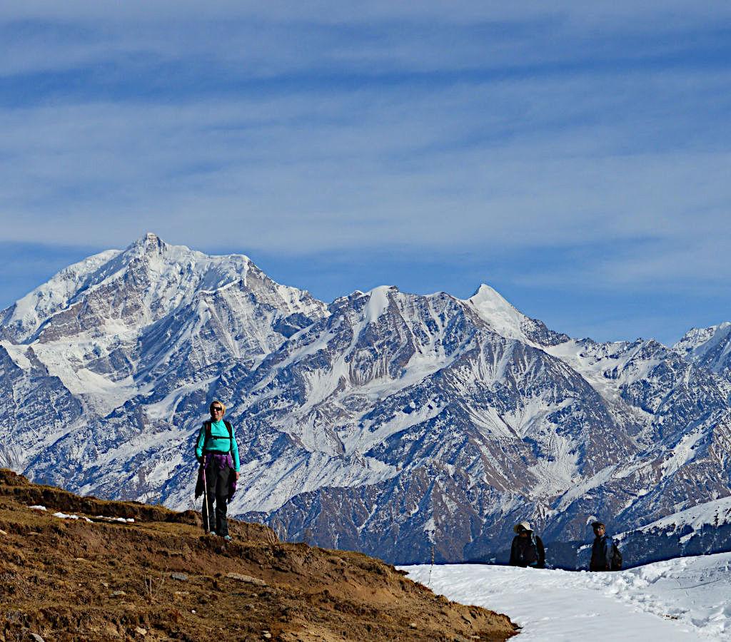
The Dayara Bugyal Trek is widely celebrated as one of India’s finest beginner-friendly Himalayan trails, famed for its sweeping high-altitude alpine meadows. Located in the Uttarkashi district of Uttarakhand, this trek reaches a maximum summit altitude of 3,700 metres (12,139 feet) and spans a round-trip distance of roughly 21 to 24 kilometers. The trek unfolds across a vast expanse of lush undulating grasslands—”Bugyal” translating to meadow in the local dialect—and presents jaw-dropping, clear views of legendary Himalayan giants like Mt. Bandarpoonch, Kala Nag, Srikanth, and the Gangotri Range.
✨ Why It Stands Out
- Beginner & Family Friendly: The trail is clean, well-defined, and lacks extreme technical or dangerously steep climbs, making it highly accessible for children above 8 years old.
- Ever-Changing Canvas: Unlike many treks that shine in just one season, Dayara completely transforms its look depending on when you visit.
- The “Andhuri” Butter Festival: Every year from August 16 to 18, the local villagers gather on these high meadows to celebrate the unique Dayara Butter Festival. Instead of colors, people playfully smear milk and fresh butter on one another to express gratitude to nature for protecting their grazing cattle.
🗓️ Seasonal Transformation Guide
- Spring & Summer (March to June): The heavy winter snow melts away to reveal vibrant, bright green carpets packed with blooming alpine wildflowers. Temperatures sit comfortably between 10°C and 20°C.
- Autumn (September to November): Post-monsoon, the skies turn crystal-clear, offering the sharpest, unobstructed mountain visibility. The meadows slowly dry out into striking hues of golden brown, while the surrounding maple and oak forests turn bright red and orange.
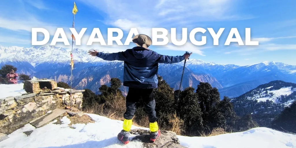
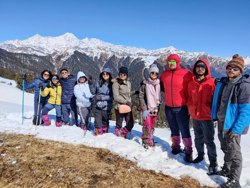
- Winter (December to February): The area transforms into a spectacular winter wonderland. The vast, rolling meadows turn into smooth ski slopes covered under thick blankets of powdery white snow, with night temperatures dropping below -10°C.
🗺️ Standard 4-Day Trekking Itinerary
- Day 1: Drive from Dehradun to Raithal Base Camp (~7,400 ft)
The scenic mountain road snakes alongside the Bhagirathi River, passing through Uttarkashi town before arriving at the traditional wooden homes of Raithal. - Day 2: Trek from Raithal to Gui Campsite (~9,800 ft | 4.5 km | 4 hours)
A gradual uphill climb navigating through dense, enchanting canopy forests of oak, brown maple, and seasonal rhododendron trees. You camp in a small clearing near the scenic, often semi-frozen Gui Lake. - Day 3: Trek from Gui to Dayara Top via Chilapada, then back to Gui (~12,139 ft | 10–12 km | 6–8 hours)
The big summit day. The tree line suddenly ends, bursting open into the jaw-dropping, endless meadows of Dayara. Walk across the alpine ridges up to the highest point (Dayara Top) for an intense 360-degree panoramic vista of the snow-clad Garhwal peaks before descending back to camp. - Day 4: Trek from Gui back to Raithal, then Drive to Dehradun (4.5 km trek + 180 km drive)
A quick, easy downhill walk back to the base village, followed by your return vehicle transfer back down to the Dehradun railway station or airport.
| Parameter | Metric / Booking Details |
|---|---|
| Trek Difficulty Level | Easy to Moderate (Beginner-friendly) |
| Max Altitude Reached | 3,700 Metres (12,139 Feet) |
| Total Trekking Distance | ~21 to 24 Kilometers round-trip |
| Estimated Package Cost | INR 5,500 – INR 9,500 per person (Group Treks) |
| Mandatory Fitness Rule | Ability to walk/jog 5 km inside 45–48 minutes comfortably |
🗺️ Alternative Route:
The Barsu & Barnala Lake Trail While the Raithal village route is widely popular, the traditional alternative trailhead begins at Barsu Village. This route offers a distinct landscape, covering a 9 km one-way hike directly up to the high-alpine meadows.
- Barnala Meadows & Lake: Positioned at roughly 2,438 metres (8,000 feet), the trail stops at Barnala Tal, a natural, high-altitude pond enclosed by sacred Nag Devta shrines and dense forests. It frequently hosts professional winter skiing training programs run by the Nehru Institute of Mountaineering (NIM).
- Bakariya Top: Trekkers choosing the Barsu path can take a steep, offshoot ridge hike up to Bakariya Top. This high vantage point provides a sharp, 360-degree look down into the Assi Ganga Valley and an unbroken view of the western Garhwal range.